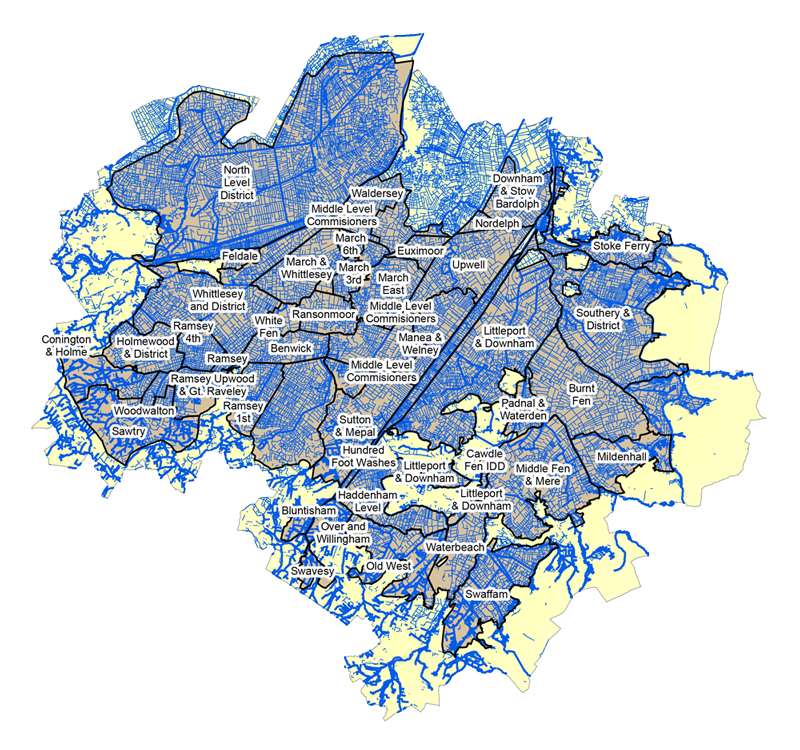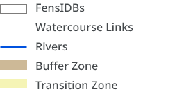

Map produced by Naomi Stevenson
West Anglia Team
Updated: 07/10/2019
Contains, or is derived from, information supplied by Ordnance Survey. © Crown copyright and database rights 2014. Ordnance Survey 100022021.


Map produced by Naomi Stevenson
West Anglia Team
Updated: 07/10/2019
Contains, or is derived from, information supplied by Ordnance Survey. © Crown copyright and database rights 2014. Ordnance Survey 100022021.
